Foston lies on an ancient crossroads, situated on the northeastern edge of the Vale of Belvoir, nearly six miles northwest of Grantham (National Grid reference SK 85 42).
It is a rural hilltop village bounded by the River Witham to the north and the Foston Beck to the east.
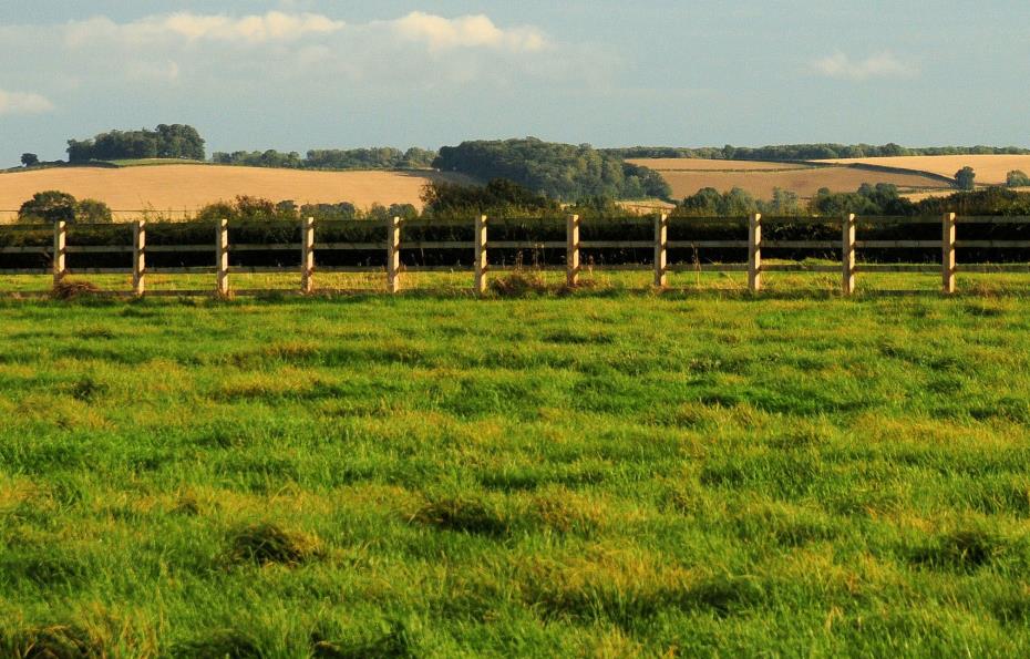
The terrain is gently undulating, and most of the parish is arable farmland with some pasture. Soils are fertile, so that agricultural land is good quality (Grade 3) which has supported a succession of farming practices over the centuries. Fields are typically bounded by hawthorn hedges (although many hedges have been removed and fields enlarged) and there is a paucity of hedgerow trees.
South Kesteven District Councils strategic landscape objectives defining Foston’s character area are to:
- Maintain and improve field boundary condition.
- Retain ditch patterns.
- Maintain wet grassland areas.
- Protect any woodland cover.
- Maintain existing hedgerow trees and plant new hedgerow trees.
- Provide new woodland planting with any new large scale development.
Some of Foston’s pastures still maintain evidence of the `ridge and furrow' system. This is an archaeological pattern of ridges and troughs created by a system of ploughing used in Europe during the Middle Ages, characterised by the undulating, grooved or corrugated appearance.
Photograph right example of Medieval “ridge and furrow” in Foston